Bagley Icefield Expedition
Bagley Icefield Crossing
|
|
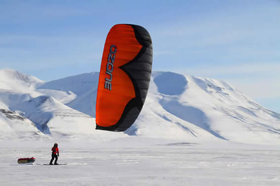
Photo copyright Dixie Dansercoer.
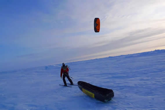
Photo copyright Troy Henkels. |
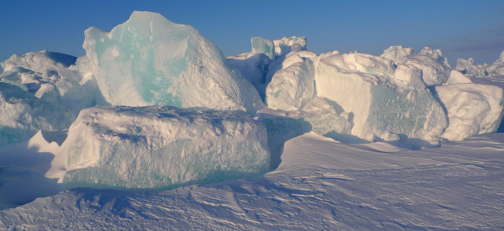
The Bagley Icefield is the largest non polar ice-field in North America. This massive ice-field sits in Southeast Alaska inside the sprawling Wrangell-St. Elias National park. It is 127 miles long, 6 miles wide, and up to 3000 feet thick. Wind, ice, and cold weather make for a classic Alaska adventure. James Bagley was a USGS topographic engineer and mapped extensively in Alaska prior to World War I. He developed the Bagley T-3 camera which was used extensively for mapping in Alaska during that era. Early climbers in the area did not realize that the massive Bagley actually formed the upper reaches of the equally massive Bering Glacier. The Bagley, Bering, and tributaries cover an area of 1,900 square miles. With cold weather and darkness gripping Alaska for the winter months, Troy and Jason will make the crossing in March, when daylight hours are longer and temperatures are beginning to warm up. With several hundred miles to cover, all equipment will be carried in sleds behind the expeditioners. Although diligent about crevasse danger, the larger sections of the Bagley are crevasse free which makes for spectacular kiting. Whenever possible the wind will be harnessed with a variety of sizes of Ozone kites. Accounting for bad weather and possible difficult surface for traveling, the expedition is expected to last up to three weeks. When we reach the western border of the Chugach Mountains, we will have crossed the third largest ice-field in the world. An expedition in such an extreme environment and of this commitment level requires the team to be totally autonomous. |